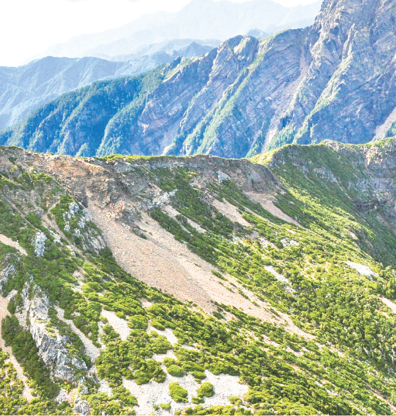
Geology
During the period of 3 million to more than 1 million years ago, the volcanic arc (the precursor of coastal mountains) of the Philippine Sea Plate and the Eurasian Plate converged and squeezed each other to make the island of Taiwan bulge from the seafloor, uplifting mountain ridges and Xueshan Range. The foothills on the west were not uplifted, and the basin became shallower and continued to deposit, forming the early shape of the Taiwan island. Due to the continuous collision, the area of Taiwan island continued to expand in the next 1 million years, and the topography continued to change, giving Taiwan the tallest peak in Taiwan, the main peak of Mt. Jade (at an elevation of 3,952 meters).
The park can be divided into five geological regions based on their characteristics. From west to east, there is the Miocene unmetamorphosed sedimentary rock region of the western foothills, slate of Xueshan Range during the old Tertiary Period, the Miocene slate region of Lushan, slate of Pilu Range during the old Tertiary Period and complex rocks of metamorphic foundation in Da-nan-ao formed toward the later stage of the Paleozoic Era.
Miocene unmetamorphosed sedimentary rock region of the western foothills
Unmetamorphosed sedimentary rocks are roughly distributed between Dongpu and west of Tataka, including the basin of Shalixian River, New Central Cross-island Highway and Sacred Tree trail, and the lithology include sandstone, dark gray shale or interbedded sand and shale, and the layers in Nanzhuang and Heshe are the examples of the region.
Slate from the old Tertiary Period of Xueshan Range
The area from Tataka toward the east of Yushan close to Batongguan, and the lithology includes metasandstone and slate. These strata are shown along trails in the north-south or northeast-southwest directions. From west to east, there are 18-Zhongxi, sandstone layers of Dajian and Yushan's main peak, and the series of strata is collectively called the Shingao Group.
Miocene slate region of Lushan
Includes the area between Zongyang Gold Mine and Baiyang Mine, Nan Campground and Dashuiku, Dafenjian Mountain and the elongated area between west of Tianchi and east border of Shingao Group.
Slate, phyllite, and metasandstone from the old Tertiary Period of Pilu Range
Covering more than half of the entire area, it includes the area of Mabolasi Crossing Trail between Baiyang Gold Mine and Maxi Mountain, an old trail built between Nan Campground and Qaqatu during the Qing Dynasty, Batongguan Traversing Trail between Nan Campground and Baoya built during the Japanese colonial period, and east of Tianchi to Xinkang Mountain.
Metamorphic foundation in Da-nan-ao
Maxi Mountain, Qaqatu and east of Xinkang line, and the lithology include marble and schist, and the layers in Taroko and Yuli toward the end of Paleozoic Era are the examples of the region.

